


0
Ascents

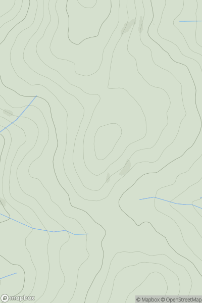
 Bala to Welshpool
 0
0 599.0
599.0User Activity
No recent Activity
0
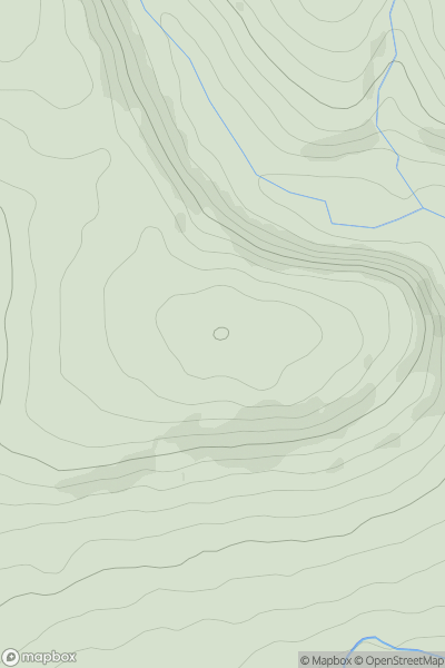
Ascents
Llandovery to Monmouth
0
350.0User Activity
No recent Activity
0
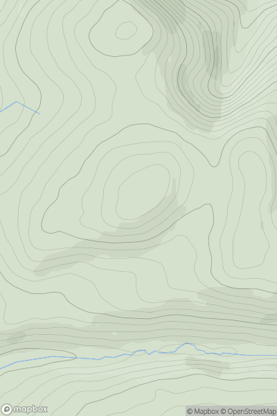
Ascents
Aberystwyth to Welshpool
0
297.0User Activity
No recent Activity
0
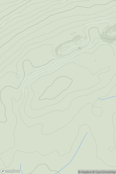
Ascents
Carmarthen to Vale of Neath
0
263.0User Activity
No recent Activity
0
Ascents
Welshpool to Hay-on-Wye
0
380.0User Activity
No recent Activity
0
Ascents
Bala to Welshpool
0
360.0User Activity
No recent Activity