


0
Ascents

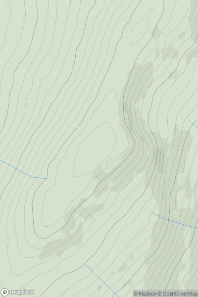
 Llandovery to Monmouth
 0
0 631.9
631.9User Activity
No recent Activity
0
Ascents
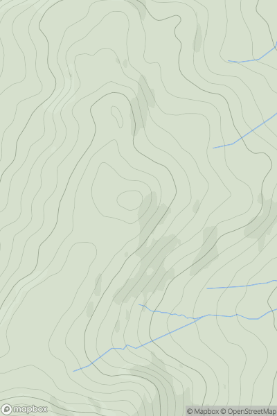
Dolgellau to Machynlleth
0
395.0User Activity
No recent Activity
0
Ascents
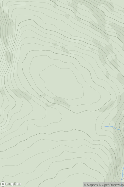
Bala to Welshpool
0
386.0User Activity
No recent Activity
0
Ascents
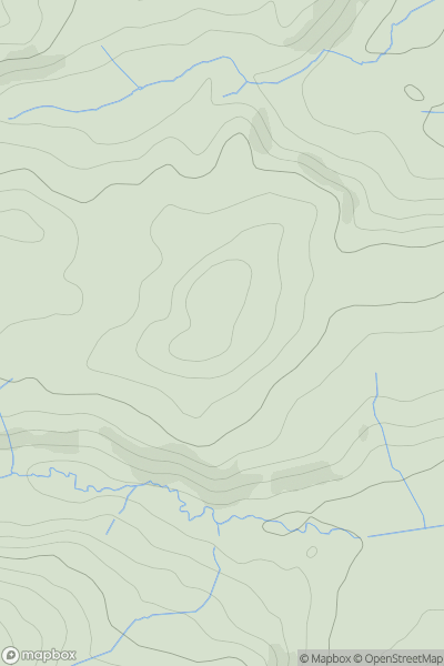
Aberystwyth to Welshpool
0
182.0User Activity
No recent Activity
0
Ascents
Aberystwyth to Welshpool
0
528.7User Activity
No recent Activity
0
Ascents
Welshpool to Hay-on-Wye
0
370.9User Activity
No recent Activity