


0
Ascents

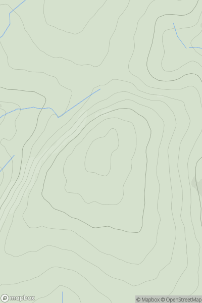
 Carmarthen to Vale of Neath
 0
0 373.1
373.1User Activity
No recent Activity
0
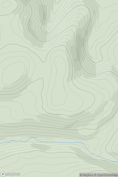
Ascents
Aberystwyth to Welshpool
0
284.0User Activity
No recent Activity
0
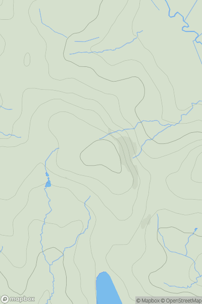
Ascents
Neath to Chepstow
0
106.0User Activity
No recent Activity
0
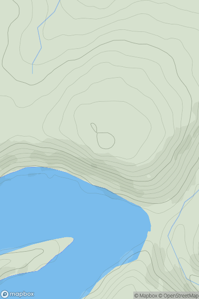
Ascents
Aberystwyth to Welshpool
0
403.8User Activity
No recent Activity
0
Ascents
Welshpool to Hay-on-Wye
0
571.0User Activity
No recent Activity
0
Ascents
Neath to Chepstow
0
470.0User Activity
No recent Activity