


0
Ascents

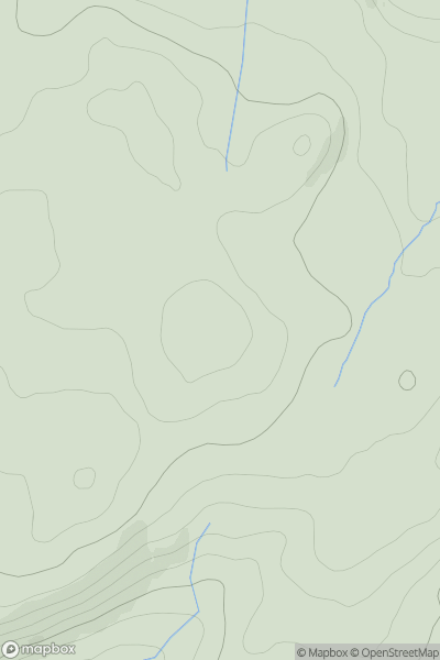
 South-West Wales
 0
0 484.0
484.0User Activity
No recent Activity
0
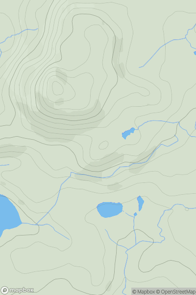
Ascents
Barmouth to Betws-y-Coed and Bala
0
501.0User Activity
No recent Activity
0
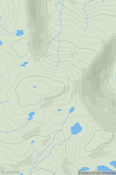
Ascents
Snowdonia
0
672.0User Activity
No recent Activity
0
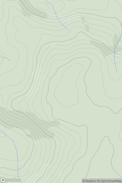
Ascents
South-West Wales
0
572.0User Activity
No recent Activity
0
Ascents
South-West Wales
0
121.0User Activity
No recent Activity
0
Ascents
Llandovery to Monmouth
0
515.0User Activity
No recent Activity