


0
Ascents

 South-West Wales
 0
0 356.0
356.0User Activity
No recent Activity
0
Ascents
Welshpool to Hay-on-Wye
0
456.0User Activity
No recent Activity
0
Ascents
Bala to Welshpool
0
630.0User Activity
No recent Activity
0
Ascents
Welshpool to Hay-on-Wye
0
409.9User Activity
No recent Activity
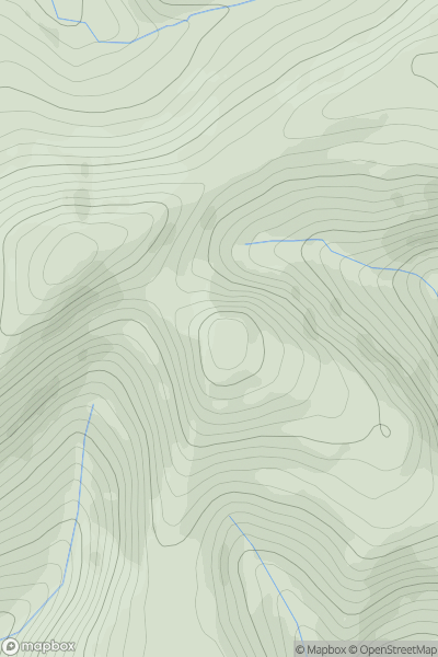
![Thumbnail image for Great Wood [Welshpool to Hay-on-Wye] showing contour plot for surrounding peak](/static/img/mountains_img_db/15056_Great_Wood_[Welshpool_to_Hay-on-Wye].png)
0
Ascents
Welshpool to Hay-on-Wye
0
385.0User Activity
No recent Activity
0
Ascents
Dolgellau to Machynlleth
0
475.0User Activity
No recent Activity