


0
Ascents

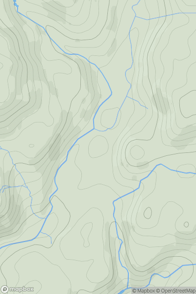
 Carmarthen to Vale of Neath
 0
0 56.0
56.0User Activity
No recent Activity
0
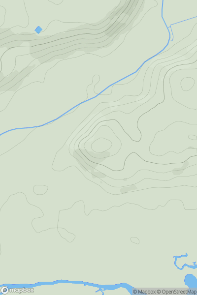
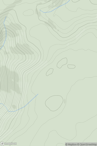
Ascents
Carmarthen to Vale of Neath
0
86.0User Activity
No recent Activity
0
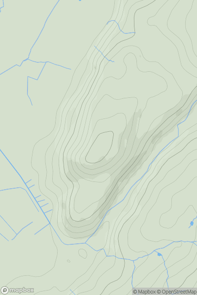
Ascents
Barmouth to Betws-y-Coed and Bala
0
113.0User Activity
No recent Activity
0
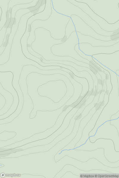
Ascents
Aberystwyth to Welshpool
0
491.0User Activity
No recent Activity
0
Ascents
Snowdonia
0
140.0User Activity
No recent Activity
0
Ascents
South-West Wales
0
456.0User Activity
No recent Activity