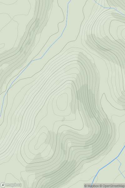
Ariel drone view of mountainous landscape with rolling clouds flowing over peak

Journal your hikes and share your adventures.

Bag peaks across the UK & Ireland, track your progress and see updates from Donder's growing community of hikers.

Donder's profile view available to users after sign-up, shows example user with progress tracking, hiking journal and user leaderboard

Thumbnail image for Carrow Hill showing contour plot for surrounding peak
WLS
Icon of location pin
88m
Icon of vertical, double ended, arrow to symbolise height of mountain

Carrow Hill

Icon of mountain used to symbolise the number of ascents made by users

0
Ascents

Thumbnail image for Moel Llanfair showing contour plot for surrounding peak
WLS
Icon of location pin
447m
Icon of vertical, double ended, arrow to symbolise height of mountain

Moel Llanfair

Icon of mountain used to symbolise the number of ascents made by users

0
Ascents

Thumbnail image for Moelwyn Bach showing contour plot for surrounding peak
WLS
Icon of location pin
710m
Icon of vertical, double ended, arrow to symbolise height of mountain

Moelwyn Bach

Icon of mountain used to symbolise the number of ascents made by users

0
Ascents

Thumbnail image for Bryn-coch showing contour plot for surrounding peak
WLS
Icon of location pin
293m
Icon of vertical, double ended, arrow to symbolise height of mountain

Bryn-coch

Icon of mountain used to symbolise the number of ascents made by users

0
Ascents

Thumbnail image for Coed Mawr showing contour plot for surrounding peak
WLS
Icon of location pin
307m
Icon of vertical, double ended, arrow to symbolise height of mountain

Coed Mawr

Icon of mountain used to symbolise the number of ascents made by users

0
Ascents

Thumbnail image for Allt yr Hebog showing contour plot for surrounding peak
WLS
Icon of location pin
342m
Icon of vertical, double ended, arrow to symbolise height of mountain

Allt yr Hebog

Icon of mountain used to symbolise the number of ascents made by users

0
Ascents