


0
Ascents

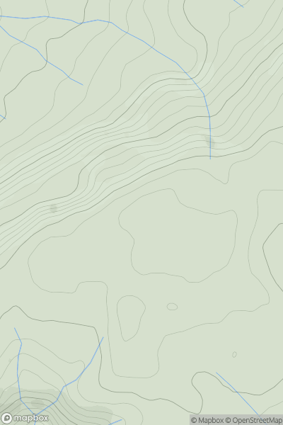
 Carmarthen to Vale of Neath
 0
0 481.0
481.0User Activity
No recent Activity
0
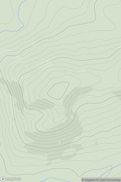
Ascents
Welshpool to Hay-on-Wye
0
417.3User Activity
No recent Activity
0
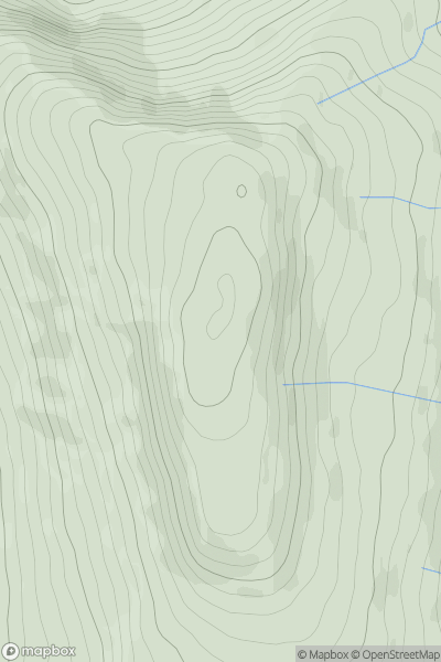
Ascents
Llandovery to Monmouth
0
663.0User Activity
No recent Activity
0
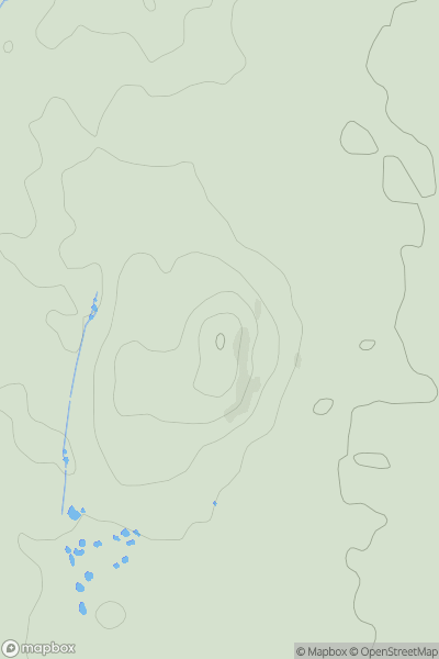
Ascents
Llandudno to Wrexham
0
153.0User Activity
No recent Activity
0
Ascents
Bala to Welshpool
0
220.0User Activity
No recent Activity
0
Ascents
Welshpool to Hay-on-Wye
0
382.0User Activity
No recent Activity