


0
Ascents

 Bala to Welshpool
 0
0 679.2
679.2User Activity
No recent Activity
0
Ascents
South-West Wales
0
72.7User Activity
No recent Activity
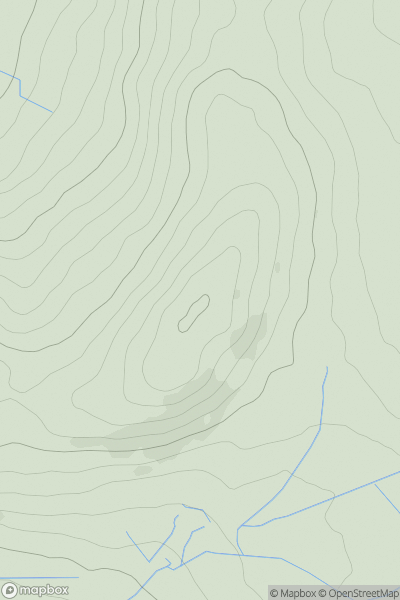
![Thumbnail image for Trawsnant [South-West Wales] showing contour plot for surrounding peak](/static/img/mountains_img_db/15051_Trawsnant_[South-West_Wales].png)
0
Ascents
South-West Wales
0
388.0User Activity
No recent Activity
0
Ascents
Bala to Welshpool
0
490.0User Activity
No recent Activity
0
Ascents
Welshpool to Hay-on-Wye
0
538.0User Activity
No recent Activity
0
Ascents
Snowdonia
0
404.0User Activity
No recent Activity