


0
Ascents

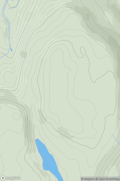
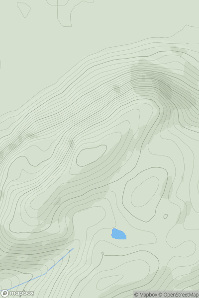
 Snowdonia
 0
0 274.0
274.0User Activity
No recent Activity
0
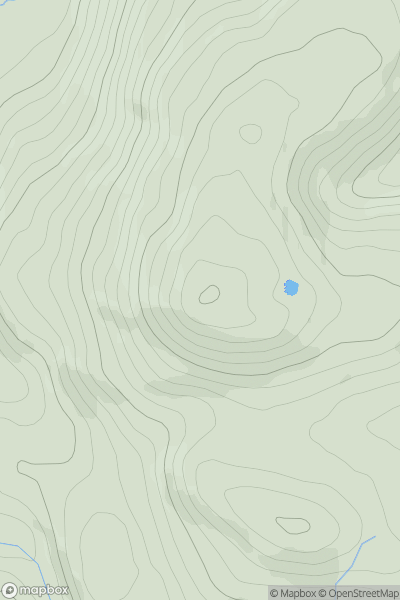
Ascents
Llandudno to Wrexham
0
358.0User Activity
No recent Activity
0
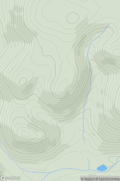
Ascents
Welshpool to Hay-on-Wye
0
427.0User Activity
No recent Activity
0
Ascents
Welshpool to Hay-on-Wye
0
313.0User Activity
No recent Activity
0
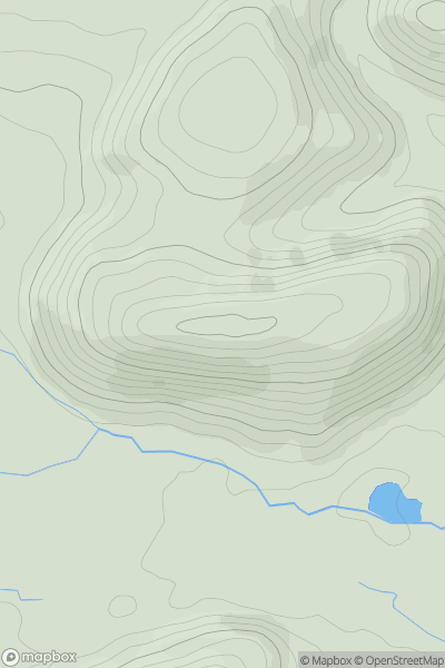
Ascents
Welshpool to Hay-on-Wye
0
366.6User Activity
No recent Activity
0
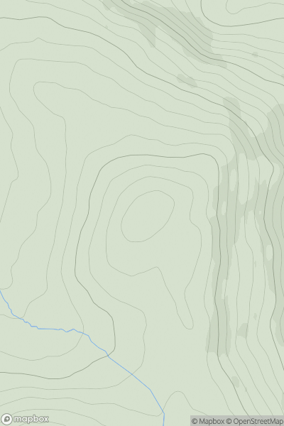
Ascents
Snowdonia
0
341.9User Activity
No recent Activity