


0
Ascents

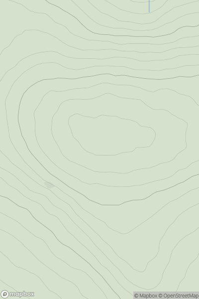
 South-West Wales
 0
0 335.0
335.0User Activity
No recent Activity
0
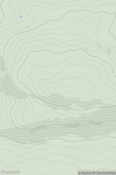
Ascents
Carmarthen to Vale of Neath
0
193.0User Activity
No recent Activity
0
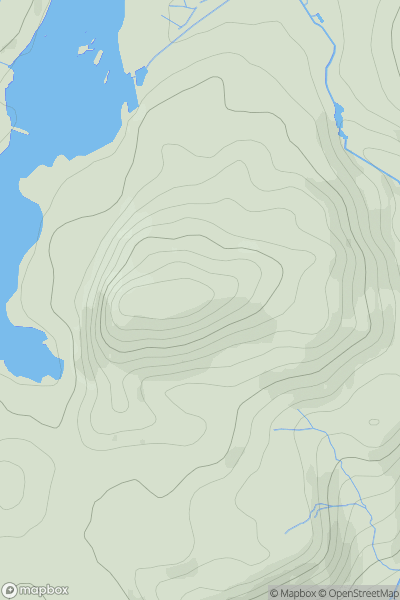
Ascents
Snowdonia
0
296.0User Activity
No recent Activity
0
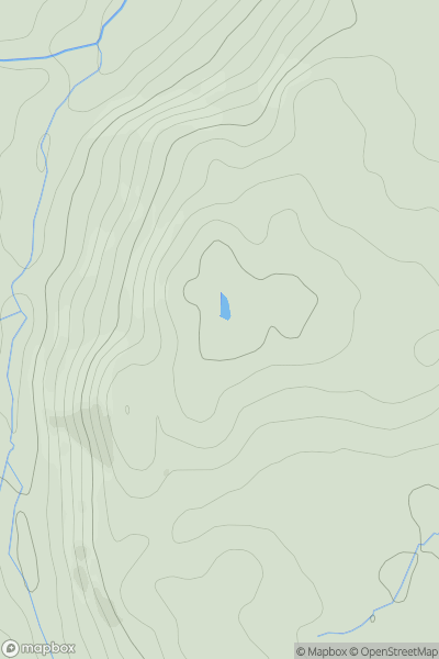
Ascents
Llandudno to Wrexham
0
257.0User Activity
No recent Activity
0
Ascents
South-West Wales
0
173.0User Activity
No recent Activity
0
Ascents
Anglesey and the Lleyn Peninsula
0
131.0User Activity
No recent Activity