


0
Ascents

 South-West Wales
 0
0 116.0
116.0User Activity
No recent Activity
0
Ascents
South-West Wales
0
174.0User Activity
No recent Activity
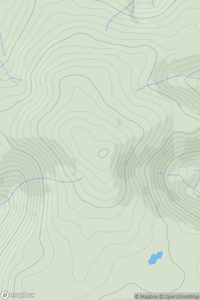
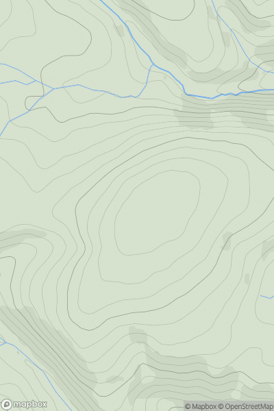
![Thumbnail image for Y Foel [South-West Wales] [SN887488] showing contour plot for surrounding peak](/static/img/mountains_img_db/15081_Y_Foel_[South-West_Wales]_[SN887488].png)
0
Ascents
South-West Wales
0
376.0User Activity
No recent Activity
0
Ascents
Welshpool to Hay-on-Wye
0
411.2User Activity
No recent Activity
0
Ascents
Llandudno to Wrexham
0
554.8User Activity
No recent Activity
0
Ascents
Aberystwyth to Welshpool
0
488.0User Activity
No recent Activity