


0
Ascents

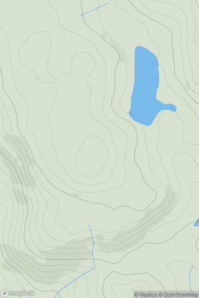
 South-West Wales
 0
0 344.0
344.0User Activity
No recent Activity
0
Ascents
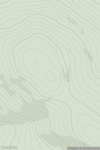
Bala to Welshpool
0
584.0User Activity
No recent Activity
0
Ascents
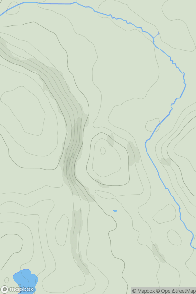
Neath to Chepstow
0
69.0User Activity
No recent Activity
0
Ascents
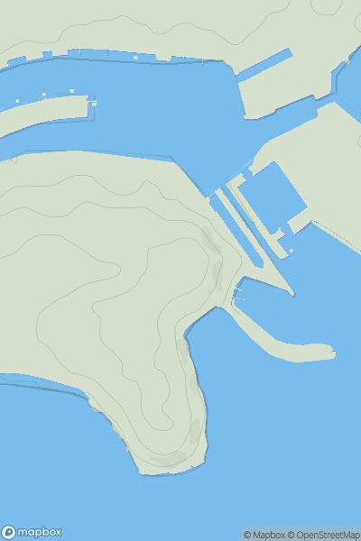
Neath to Chepstow
0
41.6User Activity
No recent Activity
0
Ascents
Aberystwyth to Welshpool
0
349.0User Activity
No recent Activity
0
Ascents
Anglesey and the Lleyn Peninsula
0
316.0User Activity
No recent Activity