

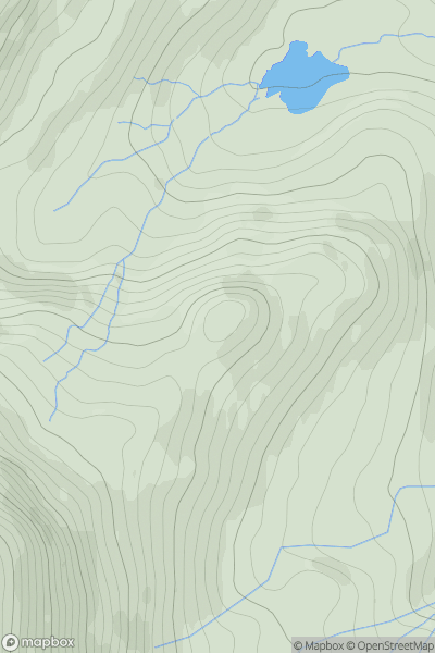
![Thumbnail image for Brown Hill [South-West Wales] showing contour plot for surrounding peak](/static/img/mountains_img_db/15392_Brown_Hill_[South-West_Wales].png)


0
Ascents

 South-West Wales
 0
0 204.0
204.0User Activity
No recent Activity
0
Ascents
Snowdonia
0
445.0User Activity
No recent Activity
0
Ascents
South-West Wales
0
89.0User Activity
No recent Activity
0
Ascents
Aberystwyth to Welshpool
0
539.0User Activity
No recent Activity
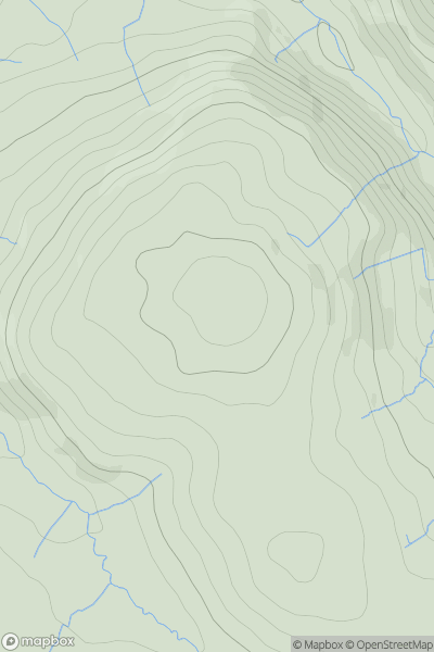
![Thumbnail image for Highfield Hill [Neath to Chepstow] showing contour plot for surrounding peak](/static/img/mountains_img_db/15870_Highfield_Hill_[Neath_to_Chepstow].png)
0
Ascents
Neath to Chepstow
0
109.0User Activity
No recent Activity
0
Ascents
Llandovery to Monmouth
0
319.0User Activity
No recent Activity