


0
Ascents

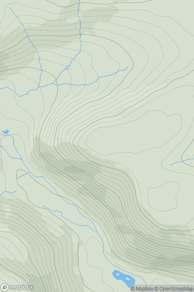
 South-West Wales
 0
0 433.0
433.0User Activity
No recent Activity

0
Ascents
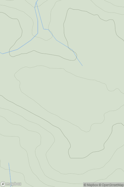
Bala to Welshpool
0
489.0User Activity
No recent Activity

0
Ascents
Neath to Chepstow
0
349.0User Activity
No recent Activity
0
Ascents
South-West Wales
0
122.0User Activity
No recent Activity
0
Ascents
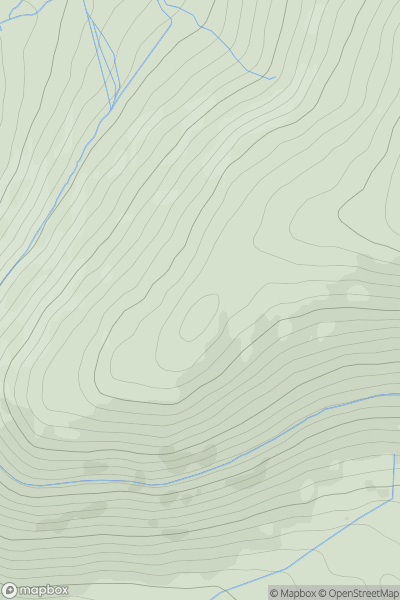
Llandovery to Monmouth
0
781.0User Activity
No recent Activity
0
Ascents
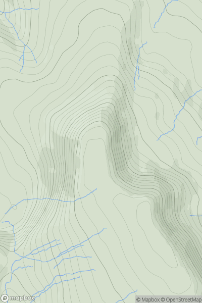
Snowdonia
0
643.0User Activity
No recent Activity