


0
Ascents

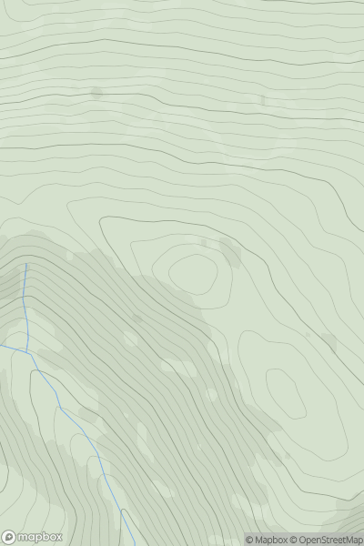
 Bala to Welshpool
 0
0 690.6
690.6User Activity
No recent Activity
0
Ascents
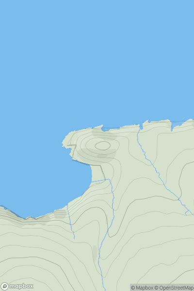
South-West Wales
0
76.0User Activity
No recent Activity
0
Ascents
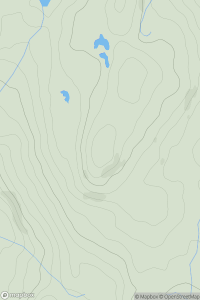
Llandudno to Wrexham
0
234.0User Activity
No recent Activity
0
Ascents
Aberystwyth to Welshpool
0
169.0User Activity
No recent Activity
0
Ascents
Llandudno to Wrexham
0
413.1User Activity
No recent Activity
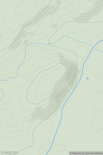
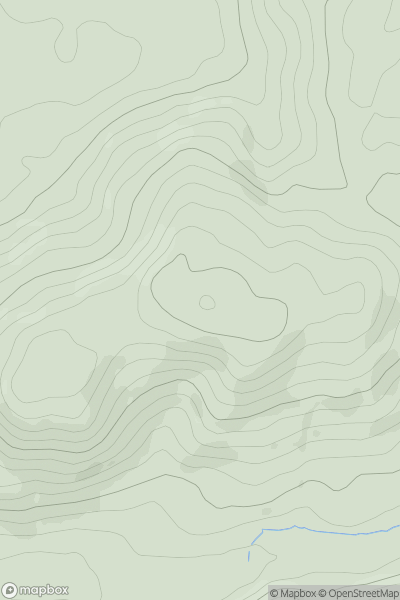
![Thumbnail image for Y Foel [Bala to Welshpool] [SJ187391] showing contour plot for surrounding peak](/static/img/mountains_img_db/7558_Y_Foel_[Bala_to_Welshpool]_[SJ187391].png)
0
Ascents
Bala to Welshpool
0
522.0User Activity
No recent Activity