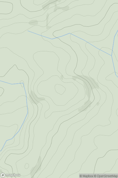
Ariel drone view of mountainous landscape with rolling clouds flowing over peak

Journal your hikes and share your adventures.

Bag peaks across the UK & Ireland, track your progress and see updates from Donder's growing community of hikers.

Donder's profile view available to users after sign-up, shows example user with progress tracking, hiking journal and user leaderboard

Thumbnail image for Bwlchau showing contour plot for surrounding peak
WLS
Icon of location pin
348m
Icon of vertical, double ended, arrow to symbolise height of mountain

Bwlchau

Icon of mountain used to symbolise the number of ascents made by users

0
Ascents

Thumbnail image for Carn Nant-yr-ast showing contour plot for surrounding peak
WLS
Icon of location pin
440m
Icon of vertical, double ended, arrow to symbolise height of mountain

Carn Nant-yr-ast

Icon of mountain used to symbolise the number of ascents made by users

0
Ascents

Thumbnail image for Gyrn showing contour plot for surrounding peak
WLS
Icon of location pin
541m
Icon of vertical, double ended, arrow to symbolise height of mountain

Gyrn

Icon of mountain used to symbolise the number of ascents made by users

0
Ascents

Thumbnail image for Cefn Trum yr Hwch showing contour plot for surrounding peak
WLS
Icon of location pin
433m
Icon of vertical, double ended, arrow to symbolise height of mountain

Cefn Trum yr Hwch

Icon of mountain used to symbolise the number of ascents made by users

0
Ascents

Thumbnail image for Pen Carreg-wen showing contour plot for surrounding peak
WLS
Icon of location pin
179m
Icon of vertical, double ended, arrow to symbolise height of mountain

Pen Carreg-wen

Icon of mountain used to symbolise the number of ascents made by users

0
Ascents

Thumbnail image for Y Figyn showing contour plot for surrounding peak
WLS
Icon of location pin
309m
Icon of vertical, double ended, arrow to symbolise height of mountain

Y Figyn

Icon of mountain used to symbolise the number of ascents made by users

0
Ascents