


0
Ascents

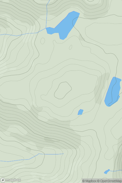
 Aberystwyth to Welshpool
 0
0 406.0
406.0User Activity
No recent Activity
0
Ascents
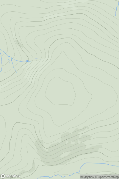
Welshpool to Hay-on-Wye
0
403.0User Activity
No recent Activity
0
Ascents
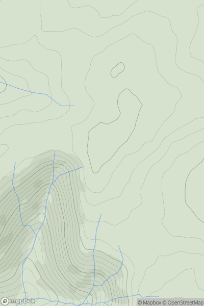
Bala to Welshpool
0
558.0User Activity
No recent Activity
0
Ascents
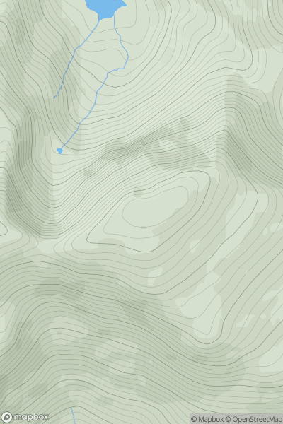
Snowdonia
0
994.3User Activity
No recent Activity
0
Ascents
Barmouth to Betws-y-Coed and Bala
0
328.0User Activity
No recent Activity
0
Ascents
Welshpool to Hay-on-Wye
0
451.4User Activity
No recent Activity