


0
Ascents

 Aberystwyth to Welshpool
 0
0 216.7
216.7User Activity
No recent Activity
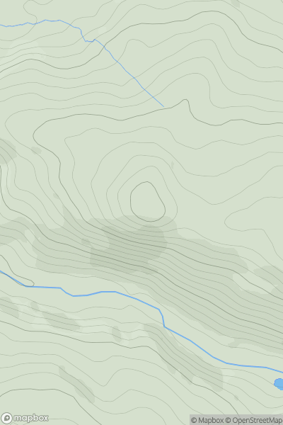
![Thumbnail image for Esgair Fraith [Aberystwyth to Welshpool] showing contour plot for surrounding peak](/static/img/mountains_img_db/7585_Esgair_Fraith_[Aberystwyth_to_Welshpool].png)
0
Ascents
Aberystwyth to Welshpool
0
499.0User Activity
No recent Activity
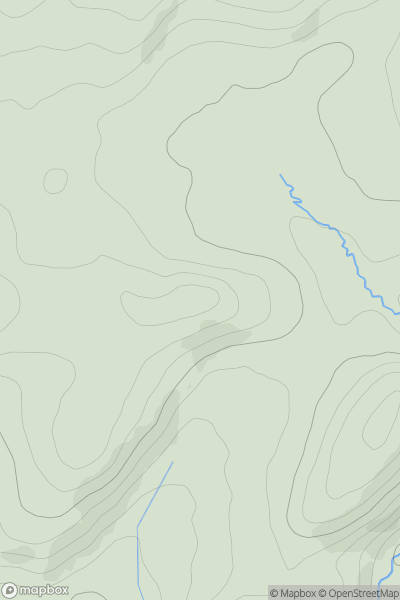
![Thumbnail image for Coed Cefn [Llandovery to Monmouth] [SO427101] showing contour plot for surrounding peak](/static/img/mountains_img_db/15866_Coed_Cefn_[Llandovery_to_Monmouth]_[SO427101].png)
0
Ascents
Llandovery to Monmouth
0
111.0User Activity
No recent Activity
0
Ascents
South-West Wales
0
490.0User Activity
No recent Activity
.png)
0
Ascents
Bala to Welshpool
0
532.0User Activity
No recent Activity
0
Ascents
South-West Wales
0
102.0User Activity
No recent Activity