


0
Ascents

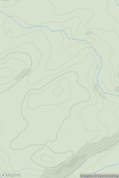
 Bala to Welshpool
 0
0 172.0
172.0User Activity
No recent Activity
0
Ascents
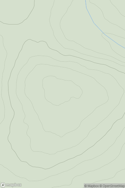
South-West Wales
0
185.0User Activity
No recent Activity
0
Ascents
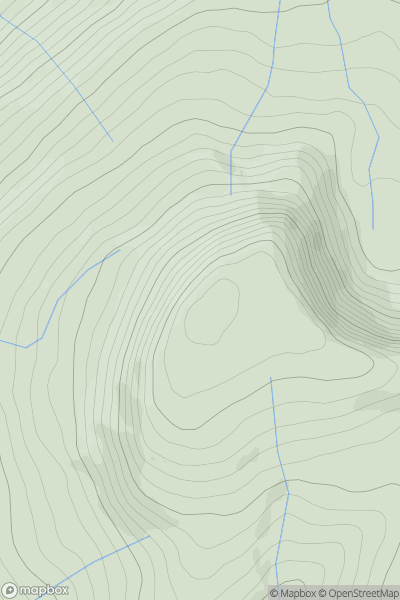
Llandovery to Monmouth
0
725.0User Activity
No recent Activity
0
Ascents
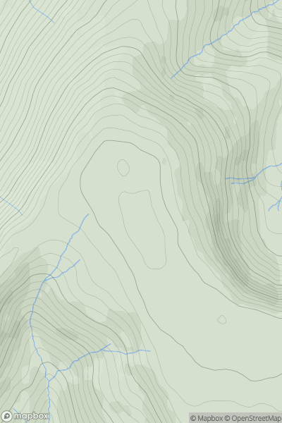
Llandovery to Monmouth
0
769.2User Activity
No recent Activity
0
Ascents
Neath to Chepstow
0
276.1User Activity
No recent Activity
0
Ascents
Llandudno to Wrexham
0
154.0User Activity
No recent Activity