


0
Ascents

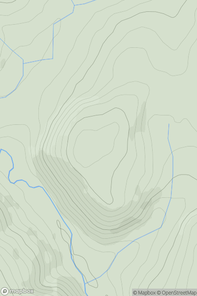
 South-West Wales
 0
0 266.0
266.0User Activity
No recent Activity
0
Ascents
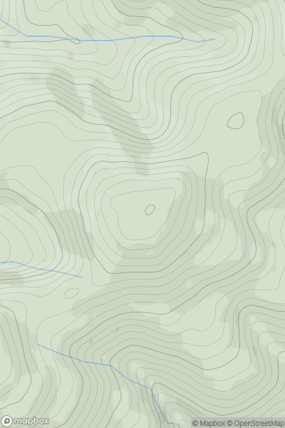
Dolgellau to Machynlleth
0
403.0User Activity
No recent Activity
0
Ascents
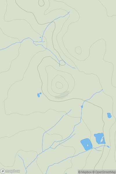
South-West Wales
0
146.0User Activity
No recent Activity
0
Ascents
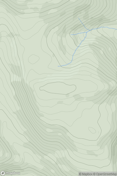
Llandudno to Wrexham
0
365.0User Activity
No recent Activity
0
Ascents
Llandovery to Monmouth
0
416.7User Activity
No recent Activity
0
Ascents
South-West Wales
0
524.0User Activity
No recent Activity