


0
Ascents

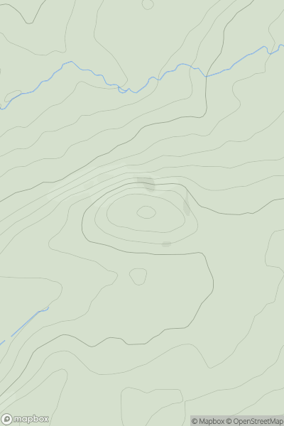
 Carmarthen to Vale of Neath
 0
0 238.0
238.0User Activity
No recent Activity
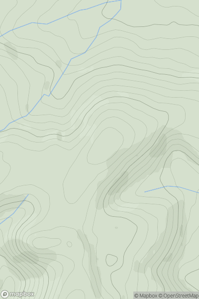
![Thumbnail image for Twyn y Gaer [Llandovery to Monmouth] [SO057353] showing contour plot for surrounding peak](/static/img/mountains_img_db/15668_Twyn_y_Gaer_[Llandovery_to_Monmouth]_[SO057353].png)
0
Ascents
Llandovery to Monmouth
0
375.0User Activity
No recent Activity
0
Ascents
Welshpool to Hay-on-Wye
0
450.0User Activity
No recent Activity
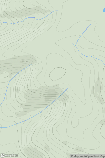
![Thumbnail image for Bryn Mawr [Aberystwyth to Welshpool] [SN763964] showing contour plot for surrounding peak](/static/img/mountains_img_db/7593_Bryn_Mawr_[Aberystwyth_to_Welshpool]_[SN763964].png)
0
Ascents
Aberystwyth to Welshpool
0
367.0User Activity
No recent Activity
0
Ascents
Welshpool to Hay-on-Wye
0
508.0User Activity
No recent Activity
.png)
0
Ascents
Snowdonia
0
534.0User Activity
No recent Activity