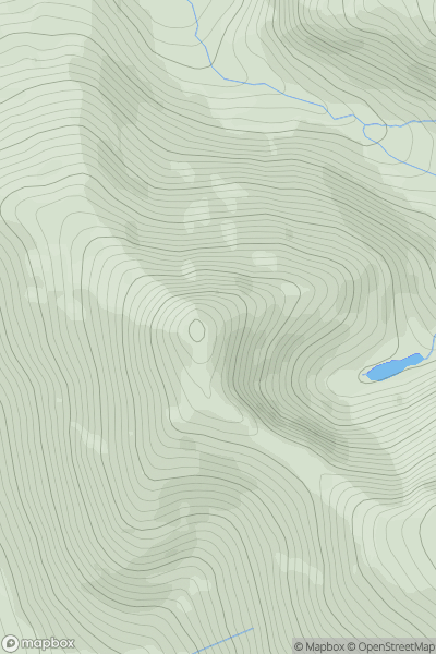
Ariel drone view of mountainous landscape with rolling clouds flowing over peak

Journal your hikes and share your adventures.

Bag peaks across the UK & Ireland, track your progress and see updates from Donder's growing community of hikers.

Donder's profile view available to users after sign-up, shows example user with progress tracking, hiking journal and user leaderboard

Thumbnail image for Yr Elen showing contour plot for surrounding peak
WLS
Icon of location pin
962m
Icon of vertical, double ended, arrow to symbolise height of mountain

Yr Elen

Icon of mountain used to symbolise the number of ascents made by users

0
Ascents

Thumbnail image for Gwastedyn Hill West Top showing contour plot for surrounding peak
WLS
Icon of location pin
476m
Icon of vertical, double ended, arrow to symbolise height of mountain

Gwastedyn Hill West Top

Icon of mountain used to symbolise the number of ascents made by users

0
Ascents

Thumbnail image for Cefn-llwyni showing contour plot for surrounding peak
WLS
Icon of location pin
323m
Icon of vertical, double ended, arrow to symbolise height of mountain

Cefn-llwyni

Icon of mountain used to symbolise the number of ascents made by users

0
Ascents

Thumbnail image for Puffin Island showing contour plot for surrounding peak
WLS
Icon of location pin
59m
Icon of vertical, double ended, arrow to symbolise height of mountain

Puffin Island

Icon of mountain used to symbolise the number of ascents made by users

0
Ascents

Thumbnail image for Dunn's Rhos showing contour plot for surrounding peak
WLS
Icon of location pin
395m
Icon of vertical, double ended, arrow to symbolise height of mountain

Dunn's Rhos

Icon of mountain used to symbolise the number of ascents made by users

0
Ascents

Thumbnail image for Mynydd Egryn showing contour plot for surrounding peak
WLS
Icon of location pin
517m
Icon of vertical, double ended, arrow to symbolise height of mountain

Mynydd Egryn

Icon of mountain used to symbolise the number of ascents made by users

0
Ascents