

![Thumbnail image for Dinas Mawr [Llandudno to Wrexham] showing contour plot for surrounding peak](/static/img/mountains_img_db/14666_Dinas_Mawr_[Llandudno_to_Wrexham].png)


0
Ascents

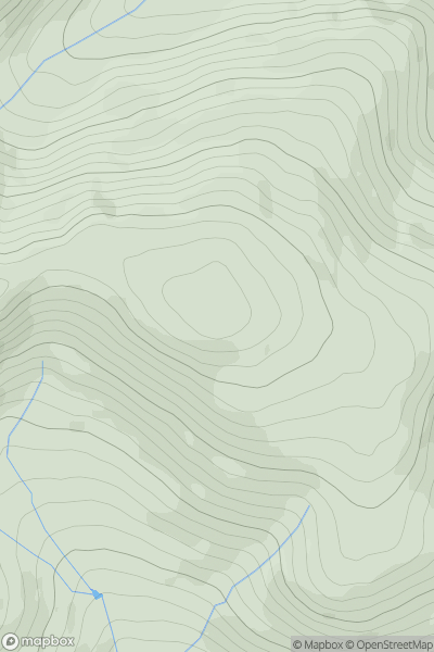
 Llandudno to Wrexham
 0
0 257.3
257.3User Activity
No recent Activity
0
Ascents
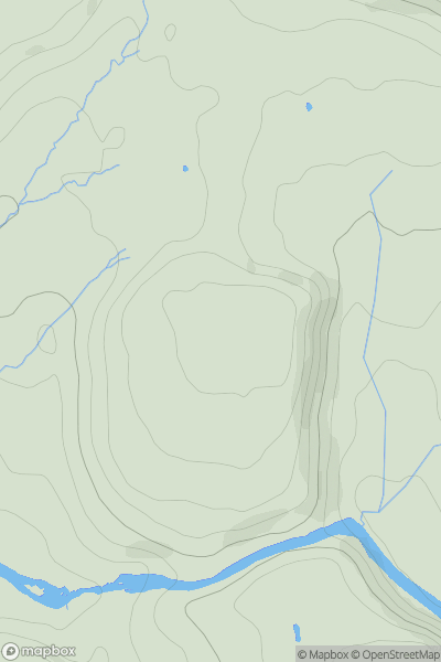
Bala to Welshpool
0
740.6User Activity
No recent Activity
0
Ascents
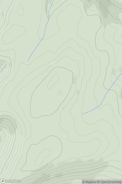
South-West Wales
0
98.0User Activity
No recent Activity
0
Ascents
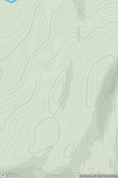
Aberystwyth to Welshpool
0
464.0User Activity
No recent Activity
0
Ascents
Aberystwyth to Welshpool
0
227.0User Activity
No recent Activity
0
Ascents
Carmarthen to Vale of Neath
0
48.0User Activity
No recent Activity