


0
Ascents

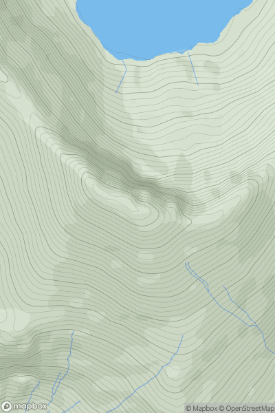
 Snowdonia
 0
0 893.0
893.0User Activity
No recent Activity
0
Ascents
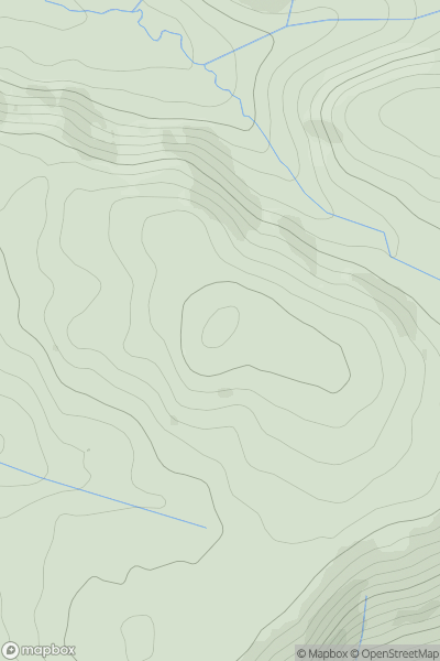
Aberystwyth to Welshpool
0
566.0User Activity
No recent Activity
0
Ascents
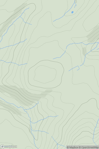
Llandovery to Monmouth
0
319.0User Activity
No recent Activity
0
Ascents
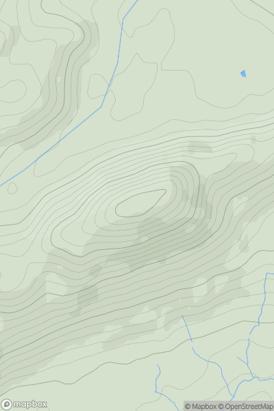
Welshpool to Hay-on-Wye
0
367.7User Activity
No recent Activity
0
Ascents
South-West Wales
0
183.0User Activity
No recent Activity
0
Ascents
South-West Wales
0
526.0User Activity
No recent Activity