


0
Ascents

 South-West Wales
 0
0 122.0
122.0User Activity
No recent Activity
0
Ascents
Barmouth to Betws-y-Coed and Bala
0
661.0User Activity
No recent Activity
0
Ascents
South-West Wales
0
266.0User Activity
No recent Activity
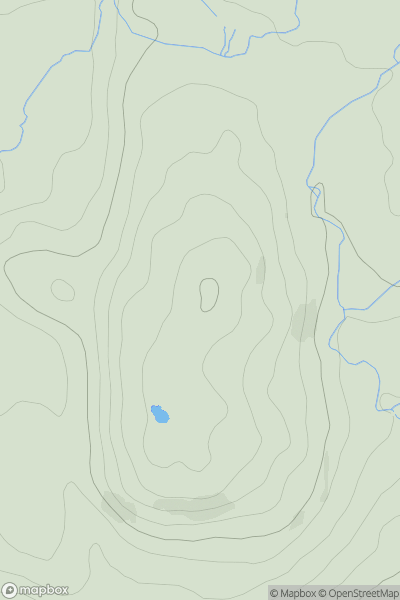
![Thumbnail image for Pen y Castell [Snowdonia] showing contour plot for surrounding peak](/static/img/mountains_img_db/2028_Pen_y_Castell_[Snowdonia].png)
0
Ascents
Snowdonia
0
623.5User Activity
No recent Activity
0
Ascents
South-West Wales
0
571.0User Activity
No recent Activity
0
Ascents
Barmouth to Betws-y-Coed and Bala
0
356.0User Activity
No recent Activity