


0
Ascents

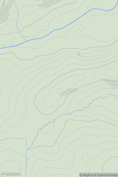
 Llandovery to Monmouth
 0
0 326.1
326.1User Activity
No recent Activity
0
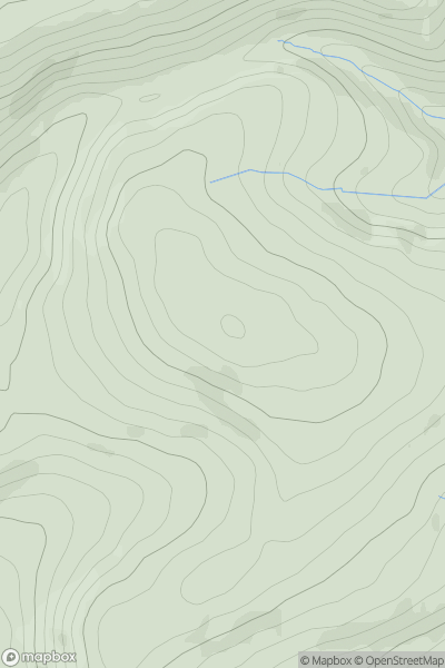
Ascents
Bala to Welshpool
0
432.0User Activity
No recent Activity
0
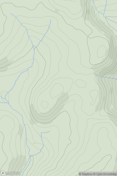
Ascents
Bala to Welshpool
0
457.0User Activity
No recent Activity
0
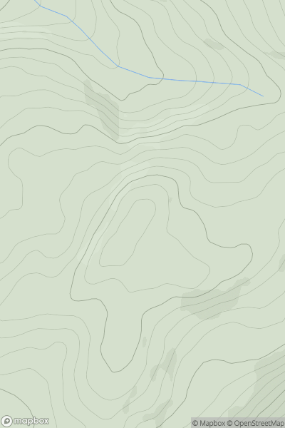
Ascents
South-West Wales
0
480.0User Activity
No recent Activity
0
Ascents
Aberystwyth to Welshpool
0
257.0User Activity
No recent Activity
0
Ascents
Snowdonia
0
898.0User Activity
No recent Activity