


0
Ascents

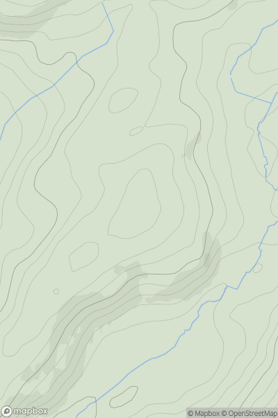
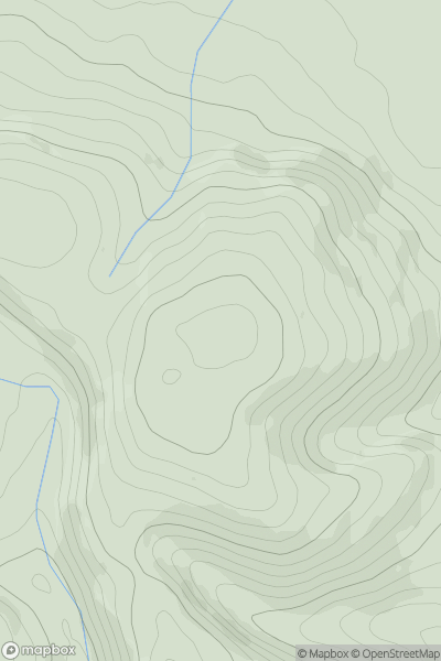
 Welshpool to Hay-on-Wye
 0
0 336.2
336.2User Activity
No recent Activity
0
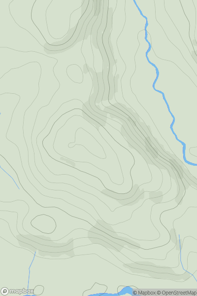
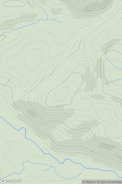
Ascents
Bala to Welshpool
0
227.0User Activity
No recent Activity
0
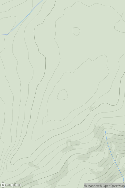
Ascents
South-West Wales
0
283.0User Activity
No recent Activity
0
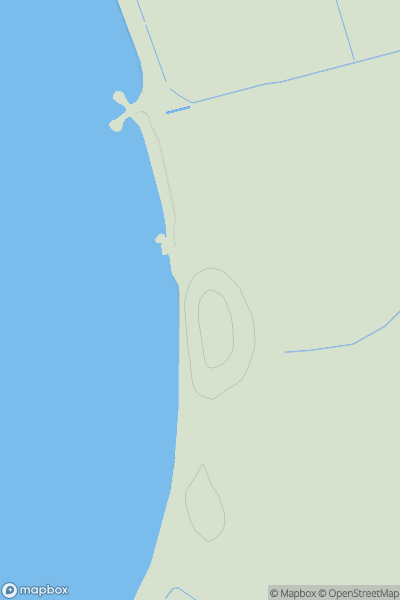
Ascents
Anglesey and the Lleyn Peninsula
0
34.7User Activity
No recent Activity
0
Ascents
Welshpool to Hay-on-Wye
0
423.0User Activity
No recent Activity
0
Ascents
Bala to Welshpool
0
274.0User Activity
No recent Activity