


0
Ascents

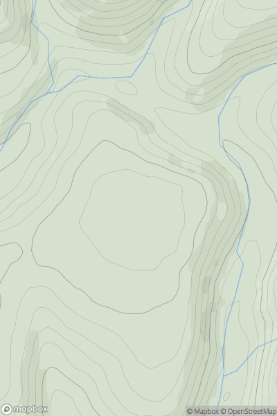
 South-West Wales
 0
0 172.0
172.0User Activity
No recent Activity
0
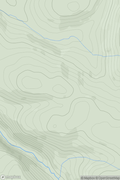
Ascents
Aberystwyth to Welshpool
0
272.2User Activity
No recent Activity
0
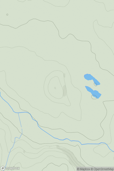
Ascents
Llandudno to Wrexham
0
130.0User Activity
No recent Activity
0
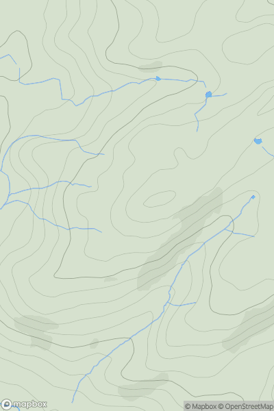
Ascents
Aberystwyth to Welshpool
0
249.0User Activity
No recent Activity
0
Ascents
Barmouth to Betws-y-Coed and Bala
0
628.3User Activity
No recent Activity
0
Ascents
Dolgellau to Machynlleth
0
514.0User Activity
No recent Activity