


0
Ascents

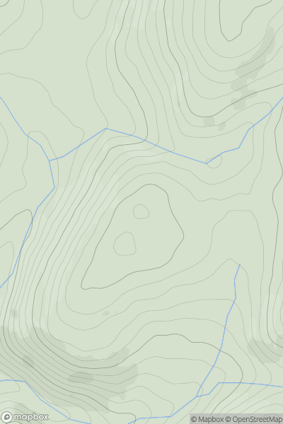
 Bala to Welshpool
 0
0 514.0
514.0User Activity
No recent Activity
0
Ascents
South-West Wales
0
193.0User Activity
No recent Activity
0
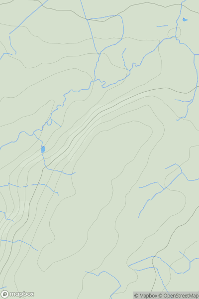
Ascents
Carmarthen to Vale of Neath
0
189.0User Activity
No recent Activity
0
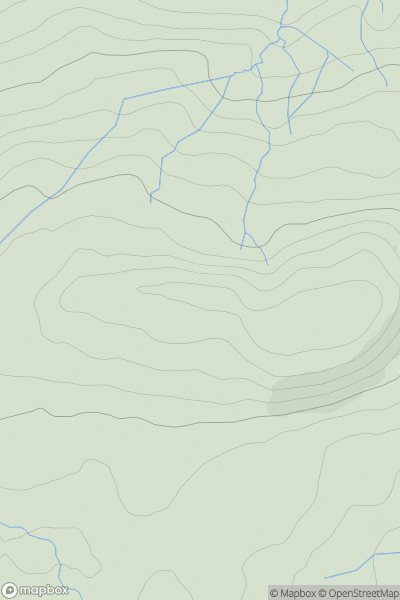
Ascents
Barmouth to Betws-y-Coed and Bala
0
385.0User Activity
No recent Activity
0
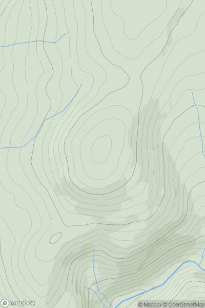
Ascents
Barmouth to Betws-y-Coed and Bala
0
545.0User Activity
No recent Activity
0
Ascents
Neath to Chepstow
0
101.0User Activity
No recent Activity