


0
Ascents

 Llandovery to Monmouth
 0
0 119.0
119.0User Activity
No recent Activity
0
Ascents
Anglesey and the Lleyn Peninsula
0
242.0User Activity
No recent Activity
0
Ascents
Llandovery to Monmouth
0
263.0User Activity
No recent Activity
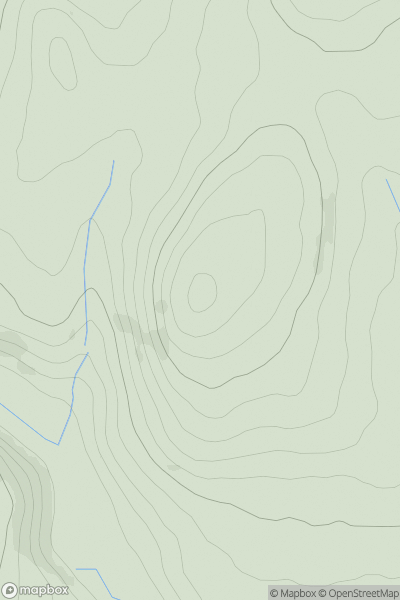
![Thumbnail image for Mynydd Dinas [South-West Wales] showing contour plot for surrounding peak](/static/img/mountains_img_db/15210_Mynydd_Dinas_[South-West_Wales].png)
0
Ascents
South-West Wales
0
307.1User Activity
No recent Activity
0
Ascents
Snowdonia
0
579.9User Activity
No recent Activity
0
Ascents
Anglesey and the Lleyn Peninsula
0
236.1User Activity
No recent Activity