


0
Ascents

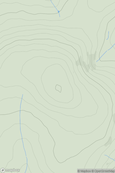
 Llandovery to Monmouth
 0
0 436.0
436.0User Activity
No recent Activity
0
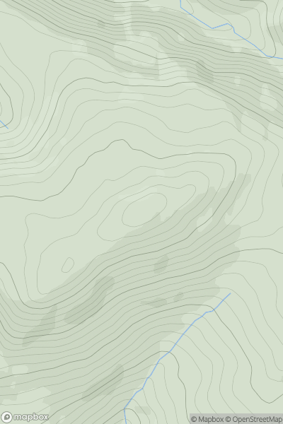
Ascents
Llandovery to Monmouth
0
473.3User Activity
No recent Activity
0
Ascents
South-West Wales
0
297.0User Activity
No recent Activity
0
Ascents
Bala to Welshpool
0
488.1User Activity
No recent Activity
0
Ascents
South-West Wales
0
301.0User Activity
No recent Activity
0
Ascents
Dolgellau to Machynlleth
0
406.0User Activity
No recent Activity