

![Thumbnail image for Lamb Knowe [The River Tweed to the English Border] [NT166225] showing contour plot for surrounding peak](/static/img/mountains_img_db/1886_Lamb_Knowe_[The_River_Tweed_to_the_English_Border]_[NT166225].png)


0
Ascents

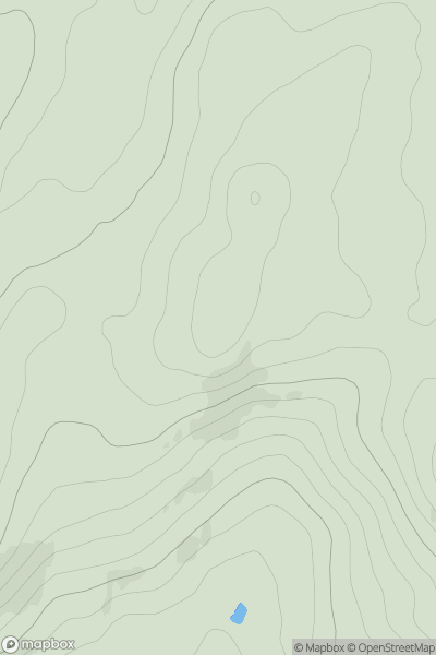
 The River Tweed to the English Border
 0
0 662.0
662.0User Activity
No recent Activity
0
Ascents
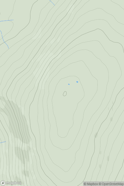
The River Tweed to the English Border
0
240.0User Activity
No recent Activity
0
Ascents
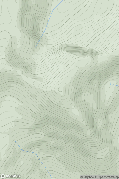
The River Tweed to the English Border
0
355.0User Activity
No recent Activity
0
Ascents
Fort William to Loch Treig & Loch Leven
0
1116.0User Activity
No recent Activity
0
Ascents
Loch Lomond to Strathyre
0
504.0User Activity
No recent Activity
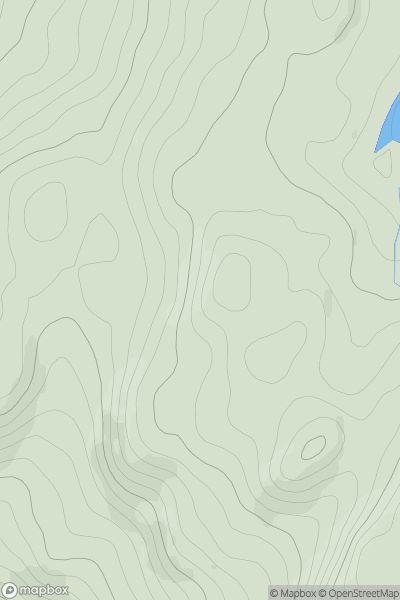
![Thumbnail image for Cnoc Odhar [Scourie to Lairg] [NC220383] showing contour plot for surrounding peak](/static/img/mountains_img_db/9480_Cnoc_Odhar_[Scourie_to_Lairg]_[NC220383].png)
0
Ascents
Scourie to Lairg
0
333.0User Activity
No recent Activity