


0
Ascents

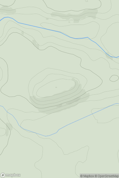
 Central Scotland from Dumbarton to Montrose
 0
0 461.0
461.0User Activity
No recent Activity
0
Ascents
Inveraray to Crianlarich
0
887.6User Activity
No recent Activity
0
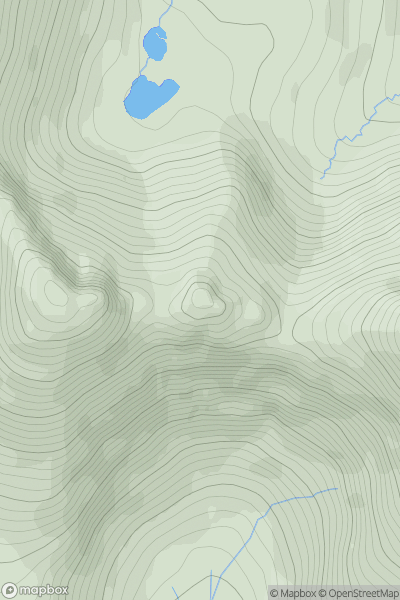
Ascents
Cairngorms
0
1017.0User Activity
No recent Activity
0
Ascents
Scourie to Lairg
0
30.0User Activity
No recent Activity
0
Ascents
Braemar to Montrose
0
189.0User Activity
No recent Activity
0
Ascents
Harris and Nearby Islands
0
691.0User Activity
No recent Activity