


0
Ascents

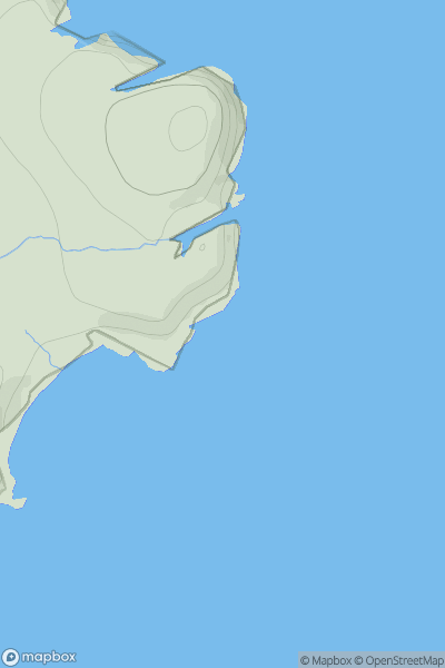
 Tongue to Wick and Helmsdale
 0
0 35.0
35.0User Activity
No recent Activity
0
Ascents
Firth of Forth to the River Tweed
0
364.0User Activity
No recent Activity
0
Ascents
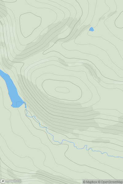
Loch Treig to Loch Ericht
0
925.0User Activity
No recent Activity
0
Ascents
The Glenkens to Annandale
0
331.0User Activity
No recent Activity
0
Ascents
Pitlochry to Braemar & Blairgowrie
0
854.3User Activity
No recent Activity
0
Ascents
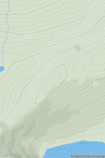
Loch Treig to Loch Ericht
0
379.0User Activity
No recent Activity