


0
Ascents

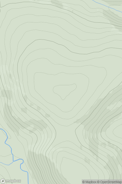
 Firth of Forth to the River Tweed
 0
0 442.0
442.0User Activity
No recent Activity

0
Ascents
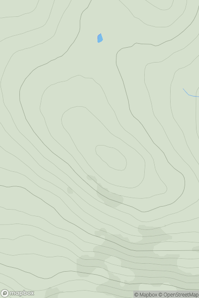
Sunart and Ardgour
0
701.0User Activity
No recent Activity
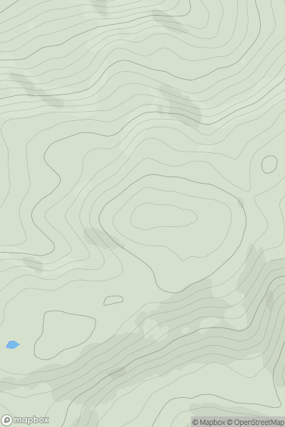
![Thumbnail image for Park Hill [The Glenkens to Annandale] showing contour plot for surrounding peak](/static/img/mountains_img_db/13690_Park_Hill_[The_Glenkens_to_Annandale].png)
0
Ascents
The Glenkens to Annandale
0
103.0User Activity
No recent Activity
0
Ascents
The Fannaichs
0
334.0User Activity
No recent Activity

0
Ascents
Glen Albyn and the Monadh Liath
0
636.0User Activity
No recent Activity
0
Ascents
Mull and Nearby Islands
0
378.0User Activity
No recent Activity