


0
Ascents

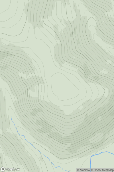
 The River Tweed to the English Border
 0
0 551.0
551.0User Activity
No recent Activity
0
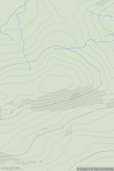
Ascents
Central Scotland from Dumbarton to Montrose
0
453.0User Activity
No recent Activity
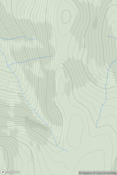
![Thumbnail image for Broad Hill [The River Tweed to the English Border] [NT023190] showing contour plot for surrounding peak](/static/img/mountains_img_db/7442_Broad_Hill_[The_River_Tweed_to_the_English_Border]_[NT023190].png)
0
Ascents
The River Tweed to the English Border
0
513.5User Activity
No recent Activity
0
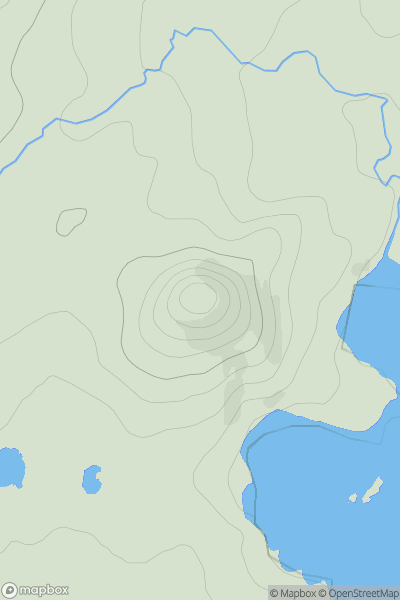
Ascents
Cairngorms
0
935.3User Activity
No recent Activity
0
Ascents
Islay
0
109.0User Activity
No recent Activity
0
Ascents
Lewis and Nearby Islands
0
96.6User Activity
No recent Activity