


0
Ascents

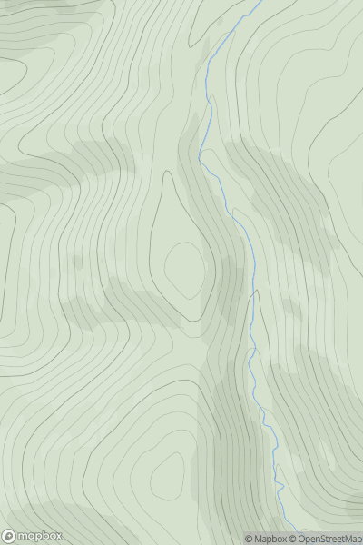
 Firth of Forth to the River Tweed
 0
0 515.0
515.0User Activity
No recent Activity
0
Ascents
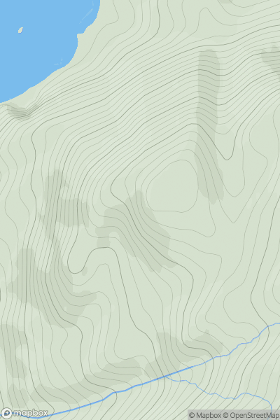
Moidart and Ardnamurchan
0
312.0User Activity
No recent Activity
0
Ascents
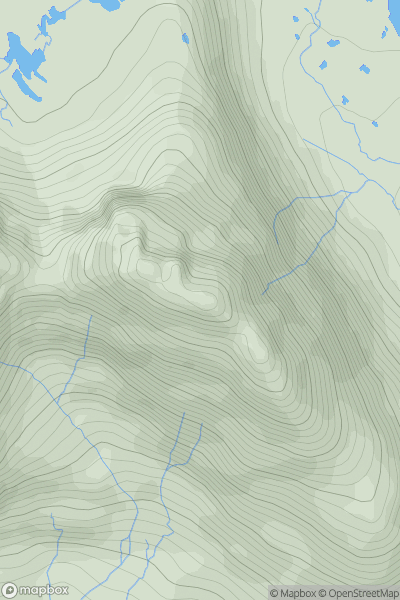
Loch Torridon to Loch Maree
0
858.0User Activity
No recent Activity

0
Ascents
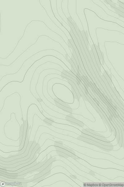
Carrick and Galloway
0
602.0User Activity
No recent Activity
0
Ascents
The Glenkens to Annandale
0
314.0User Activity
No recent Activity

0
Ascents
The River Tweed to the English Border
0
605.0User Activity
No recent Activity