

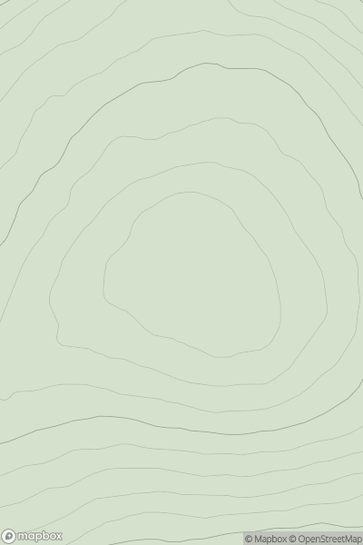
![Thumbnail image for Black Hill [Firth of Forth to the River Tweed] showing contour plot for surrounding peak](/static/img/mountains_img_db/14033_Black_Hill_[Firth_of_Forth_to_the_River_Tweed].png)


0
Ascents

 Firth of Forth to the River Tweed
 0
0 342.0
342.0User Activity
No recent Activity
0
Ascents
Tomintoul to Banff
0
339.0User Activity
No recent Activity
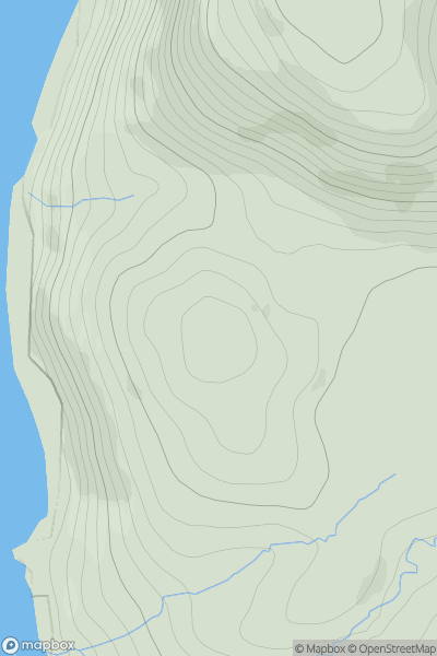
![Thumbnail image for Windy Hill [Carrick and Galloway] showing contour plot for surrounding peak](/static/img/mountains_img_db/13753_Windy_Hill_[Carrick_and_Galloway].png)
0
Ascents
Carrick and Galloway
0
60.0User Activity
No recent Activity
0
Ascents
Minginish and the Cuillin Hills
0
148.0User Activity
No recent Activity
0
Ascents
Central Scotland from Dumbarton to Montrose
0
178.0User Activity
No recent Activity
0
Ascents
Central Scotland from Dumbarton to Montrose
0
290.0User Activity
No recent Activity