

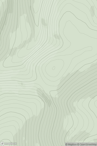
![Thumbnail image for Newton Hill [Inveraray to Crianlarich] showing contour plot for surrounding peak](/static/img/mountains_img_db/8061_Newton_Hill_[Inveraray_to_Crianlarich].png)


0
Ascents

 Inveraray to Crianlarich
 0
0 422.0
422.0User Activity
No recent Activity
0
Ascents
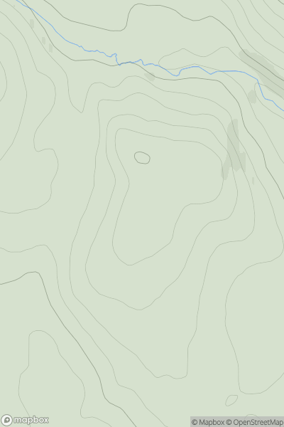
The River Tweed to the English Border
0
487.0User Activity
No recent Activity
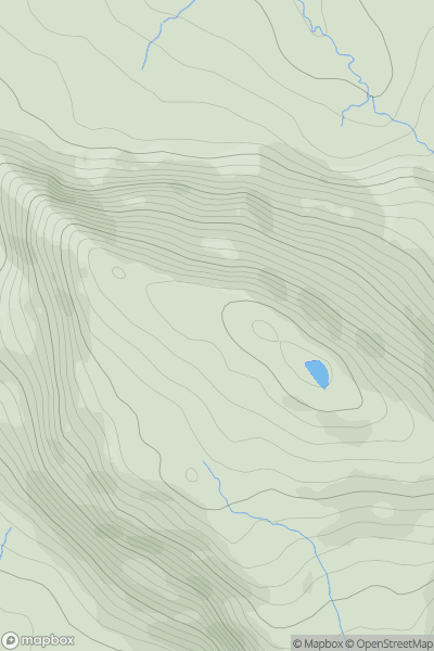
![Thumbnail image for Craigend Hill [Firth of Forth to the River Tweed] showing contour plot for surrounding peak](/static/img/mountains_img_db/13951_Craigend_Hill_[Firth_of_Forth_to_the_River_Tweed].png)
0
Ascents
Firth of Forth to the River Tweed
0
374.0User Activity
No recent Activity
0
Ascents
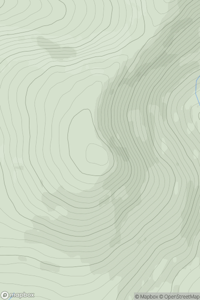
The Glenkens to Annandale
0
300.6User Activity
No recent Activity
0
Ascents
Morvern and Kingairloch
0
571.0User Activity
No recent Activity
0
Ascents
Carrick and Galloway
0
719.0User Activity
No recent Activity