


0
Ascents

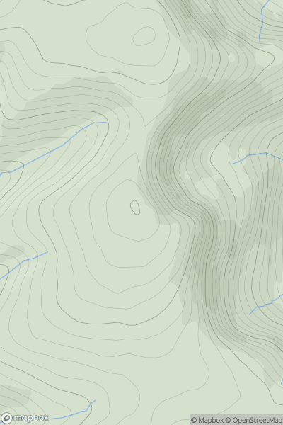
 The River Tweed to the English Border
 0
0 503.0
503.0User Activity
No recent Activity
0
Ascents
Tongue to Wick and Helmsdale
0
515.0User Activity
No recent Activity
![Thumbnail image for Mains Hill [Firth of Forth to the River Tweed] showing contour plot for surrounding peak](/static/img/mountains_img_db/5095_Mains_Hill_[Firth_of_Forth_to_the_River_Tweed].png)
0
Ascents
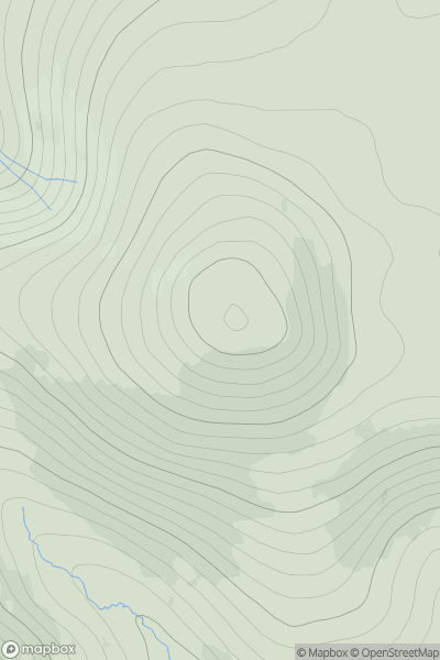
Firth of Forth to the River Tweed
0
354.0User Activity
No recent Activity
![Thumbnail image for White Hill [The River Tweed to the English Border] [NS944251] showing contour plot for surrounding peak](/static/img/mountains_img_db/13897_White_Hill_[The_River_Tweed_to_the_English_Border]_[NS944251].png)
0
Ascents
The River Tweed to the English Border
0
412.0User Activity
No recent Activity
![Thumbnail image for Beinn Dearg [Cape Wrath Peninsula] showing contour plot for surrounding peak](/static/img/mountains_img_db/1117_Beinn_Dearg_[Cape_Wrath_Peninsula].png)
0
Ascents
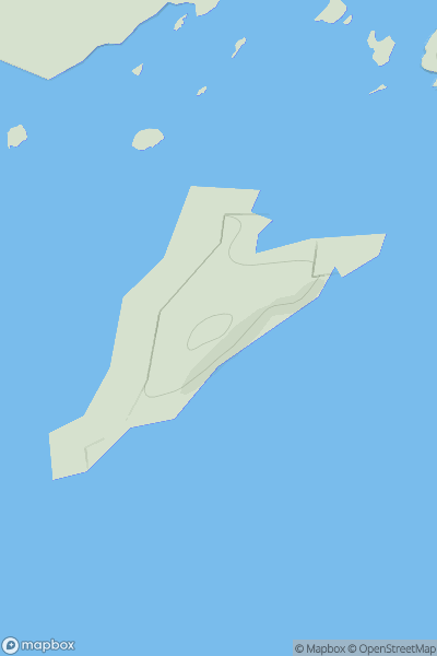
Cape Wrath Peninsula
0
423.8User Activity
No recent Activity
0
Ascents
Shetland Islands
0
30.0User Activity
No recent Activity