


0
Ascents

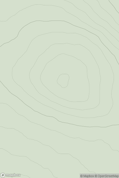
 Scourie to Lairg
 0
0 392.0
392.0User Activity
No recent Activity
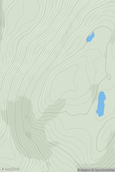
![Thumbnail image for Creag Loisgte [Loch Broom to Strath Oykel] showing contour plot for surrounding peak](/static/img/mountains_img_db/1087_Creag_Loisgte_[Loch_Broom_to_Strath_Oykel].png)
0
Ascents
Loch Broom to Strath Oykel
0
415.0User Activity
No recent Activity

0
Ascents
Tongue to Wick and Helmsdale
0
263.0User Activity
No recent Activity
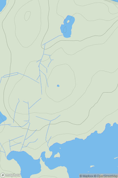
![Thumbnail image for Torr Mor [Killilan to Inverness] [NH486436] showing contour plot for surrounding peak](/static/img/mountains_img_db/8958_Torr_Mor_[Killilan_to_Inverness]_[NH486436].png)
0
Ascents
Killilan to Inverness
0
156.0User Activity
No recent Activity
0
Ascents
Jura, Scarba and Colonsay
0
449.0User Activity
No recent Activity
0
Ascents
Lewis and Nearby Islands
0
83.0User Activity
No recent Activity