


0
Ascents

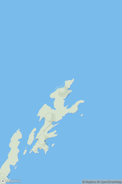
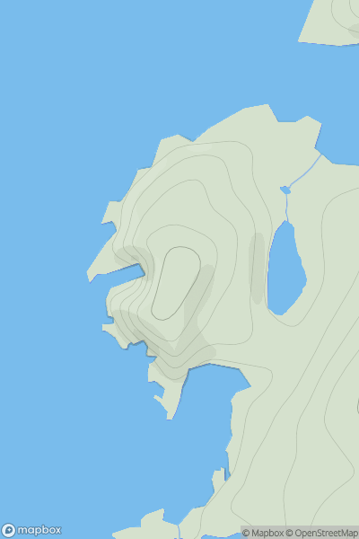
 Shetland Islands
 0
0 45.0
45.0User Activity
No recent Activity
0
Ascents
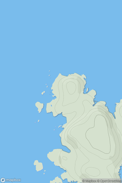
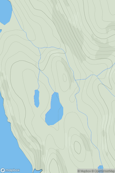
North Skye and Raasay
0
49.0User Activity
No recent Activity
0
Ascents
Pitlochry to Braemar & Blairgowrie
0
530.0User Activity
No recent Activity
0
Ascents
Central Scotland from Dumbarton to Montrose
0
250.0User Activity
No recent Activity
0
Ascents
Shetland Islands
0
65.0User Activity
No recent Activity
0
Ascents
North Skye and Raasay
0
93.0User Activity
No recent Activity