


0
Ascents

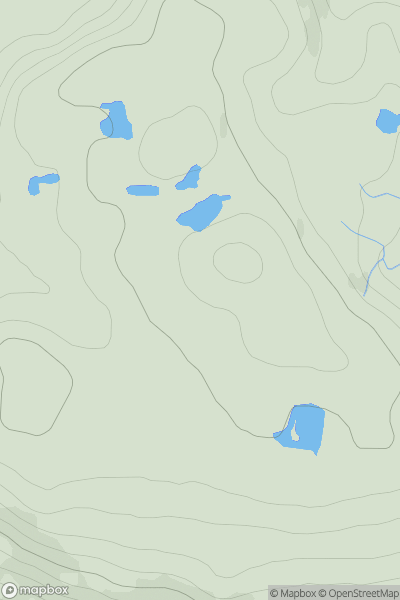
 Lochinver to Ullapool
 0
0 183.0
183.0User Activity
No recent Activity
0
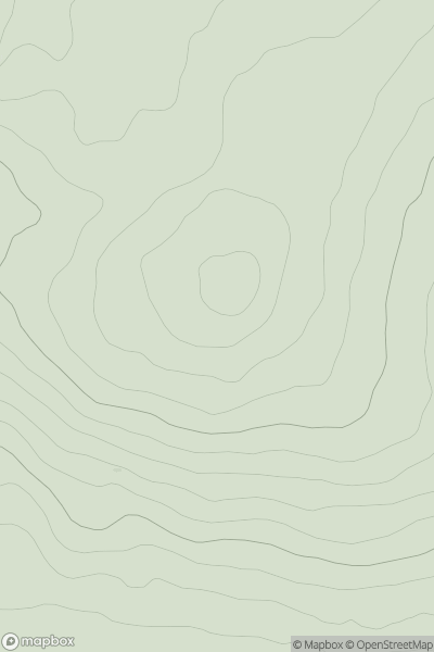
Ascents
Carrick and Galloway
0
148.0User Activity
No recent Activity

0
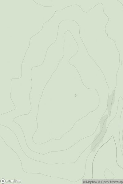
Ascents
Harris and Nearby Islands
0
303.4User Activity
No recent Activity
0
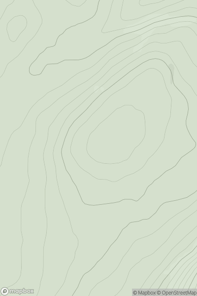
Ascents
Tomintoul to Banff
0
249.0User Activity
No recent Activity
0
Ascents
Loch Ericht to Glen Tromie & Glen Garry
0
485.0User Activity
No recent Activity
0
Ascents
Loch Broom to Strath Oykel
0
496.0User Activity
No recent Activity