

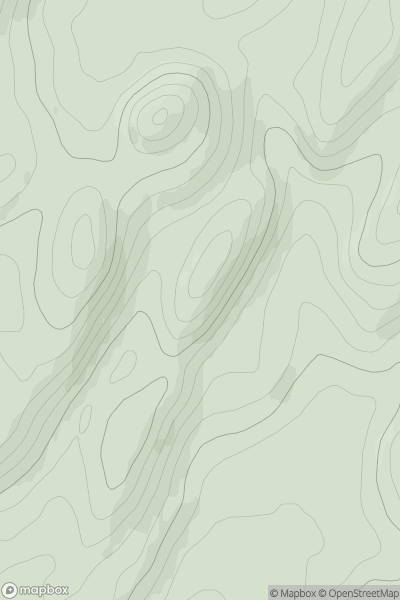
![Thumbnail image for Meall Liath [Glen Lyon to Glen Dochart & Loch Tay] showing contour plot for surrounding peak](/static/img/mountains_img_db/5860_Meall_Liath_[Glen_Lyon_to_Glen_Dochart_&_Loch_Tay].png)


0
Ascents

 Glen Lyon to Glen Dochart & Loch Tay
 0
0 566.7
566.7User Activity
No recent Activity
0
Ascents
Oban to Loch Fyne
0
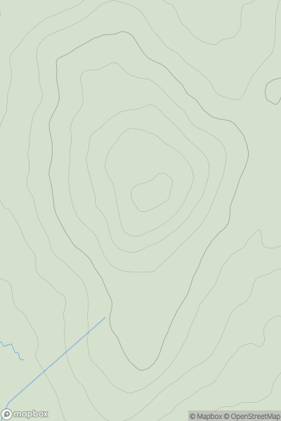
149.0User Activity
No recent Activity
0
Ascents
Carrick and Galloway
0
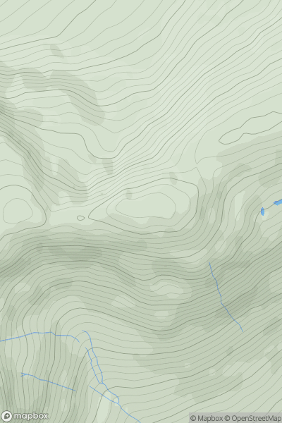
248.0User Activity
No recent Activity
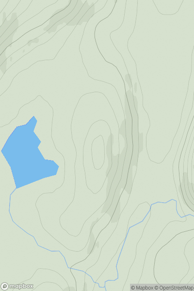
![Thumbnail image for Meall nan Aighean [Glen Affric to Glen Moriston] showing contour plot for surrounding peak](/static/img/mountains_img_db/6507_Meall_nan_Aighean_[Glen_Affric_to_Glen_Moriston].png)
0
Ascents
Glen Affric to Glen Moriston
0
556.0User Activity
No recent Activity
0
Ascents
Loch Lochy to Loch Laggan
0
993.0User Activity
No recent Activity
0
Ascents
Glen Tromie to Glen Tilt
0
553.0User Activity
No recent Activity