

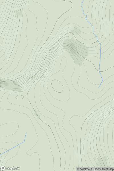
![Thumbnail image for Meall nan Damh [Arran and Holy Island] showing contour plot for surrounding peak](/static/img/mountains_img_db/1478_Meall_nan_Damh_[Arran_and_Holy_Island].png)


0
Ascents

 Arran and Holy Island
 0
0 570.0
570.0User Activity
No recent Activity
0
Ascents
Durness to Loch Shin
0
312.0User Activity
No recent Activity
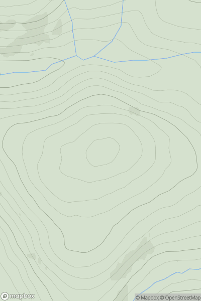
![Thumbnail image for Beinn Bheag [Loch Leven to Rannoch Station] showing contour plot for surrounding peak](/static/img/mountains_img_db/4018_Beinn_Bheag_[Loch_Leven_to_Rannoch_Station].png)
0
Ascents
Loch Leven to Rannoch Station
0
616.0User Activity
No recent Activity
0
Ascents
The River Tweed to the English Border
0
437.0User Activity
No recent Activity
0
Ascents
Barra to Barra Head
0
44.0User Activity
No recent Activity

0
Ascents
Tomintoul to Banff
0
321.0User Activity
No recent Activity