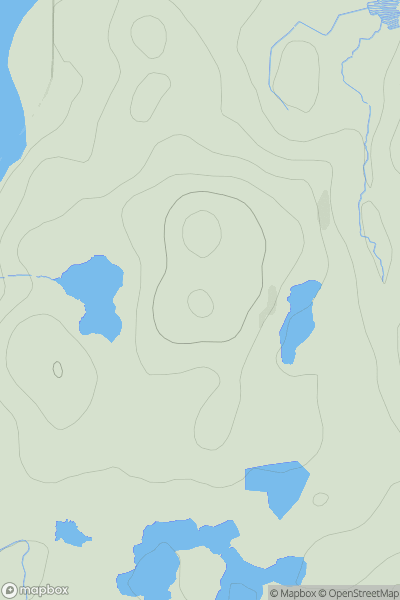
Ariel drone view of mountainous landscape with rolling clouds flowing over peak

Journal your hikes and share your adventures.

Bag peaks across the UK & Ireland, track your progress and see updates from Donder's growing community of hikers.

Donder's profile view available to users after sign-up, shows example user with progress tracking, hiking journal and user leaderboard

Thumbnail image for Cnoc Ard showing contour plot for surrounding peak
SCO
Icon of location pin
73m
Icon of vertical, double ended, arrow to symbolise height of mountain

Cnoc Ard

Icon of mountain used to symbolise the number of ascents made by users

0
Ascents

Thumbnail image for Knockbain showing contour plot for surrounding peak
SCO
Icon of location pin
193m
Icon of vertical, double ended, arrow to symbolise height of mountain

Knockbain

Icon of mountain used to symbolise the number of ascents made by users

0
Ascents

Thumbnail image for Sgurr Nighean Mhic Choinich NE Top showing contour plot for surrounding peak
SCO
Icon of location pin
493m
Icon of vertical, double ended, arrow to symbolise height of mountain

Sgurr Nighean Mhic Choinich NE Top

Icon of mountain used to symbolise the number of ascents made by users

0
Ascents

Thumbnail image for Rubha Chaolais showing contour plot for surrounding peak
SCO
Icon of location pin
51m
Icon of vertical, double ended, arrow to symbolise height of mountain

Rubha Chaolais

Icon of mountain used to symbolise the number of ascents made by users

0
Ascents

Thumbnail image for Beinn Clachan showing contour plot for surrounding peak
SCO
Icon of location pin
120m
Icon of vertical, double ended, arrow to symbolise height of mountain

Beinn Clachan

Icon of mountain used to symbolise the number of ascents made by users

0
Ascents

Thumbnail image for Drumchork showing contour plot for surrounding peak
SCO
Icon of location pin
186m
Icon of vertical, double ended, arrow to symbolise height of mountain

Drumchork

Icon of mountain used to symbolise the number of ascents made by users

0
Ascents