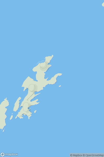
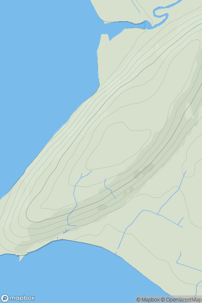
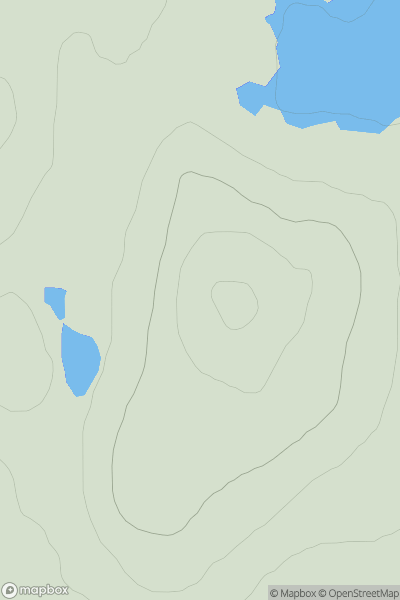
Ariel drone view of mountainous landscape with rolling clouds flowing over peak

Journal your hikes and share your adventures.

Bag peaks across the UK & Ireland, track your progress and see updates from Donder's growing community of hikers.

Donder's profile view available to users after sign-up, shows example user with progress tracking, hiking journal and user leaderboard

Thumbnail image for Little Flugga showing contour plot for surrounding peak
SCO
Icon of location pin
31m
Icon of vertical, double ended, arrow to symbolise height of mountain

Little Flugga

Icon of mountain used to symbolise the number of ascents made by users

0
Ascents

Thumbnail image for Erne's Toug showing contour plot for surrounding peak
SCO
Icon of location pin
176m
Icon of vertical, double ended, arrow to symbolise height of mountain

Erne's Toug

Icon of mountain used to symbolise the number of ascents made by users

0
Ascents

Thumbnail image for Hill of Mulundy showing contour plot for surrounding peak
SCO
Icon of location pin
240m
Icon of vertical, double ended, arrow to symbolise height of mountain

Hill of Mulundy

Icon of mountain used to symbolise the number of ascents made by users

0
Ascents

Thumbnail image for Barr Treshtil showing contour plot for surrounding peak
SCO
Icon of location pin
56m
Icon of vertical, double ended, arrow to symbolise height of mountain

Barr Treshtil

Icon of mountain used to symbolise the number of ascents made by users

0
Ascents

Thumbnail image for Cuil Cheanna showing contour plot for surrounding peak
SCO
Icon of location pin
95m
Icon of vertical, double ended, arrow to symbolise height of mountain

Cuil Cheanna

Icon of mountain used to symbolise the number of ascents made by users

0
Ascents

Thumbnail image for Druim an Laraidh showing contour plot for surrounding peak
SCO
Icon of location pin
173m
Icon of vertical, double ended, arrow to symbolise height of mountain

Druim an Laraidh

Icon of mountain used to symbolise the number of ascents made by users

0
Ascents