


0
Ascents

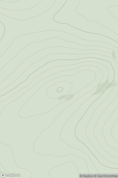
 Tongue to Wick and Helmsdale
 0
0 470.0
470.0User Activity
No recent Activity
![Thumbnail image for Meall Buidhe [Kyle of Lochalsh to Garve] showing contour plot for surrounding peak](/static/img/mountains_img_db/4346_Meall_Buidhe_[Kyle_of_Lochalsh_to_Garve].png)
0
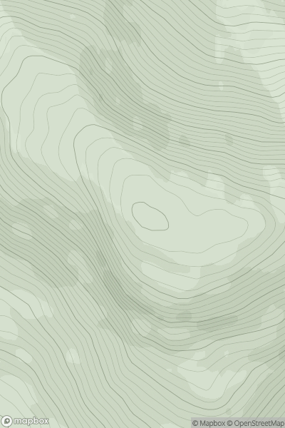
Ascents
Kyle of Lochalsh to Garve
0
700.0User Activity
No recent Activity
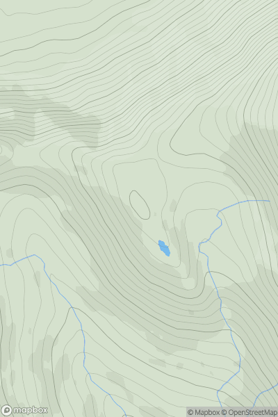
![Thumbnail image for Beinn a' Chaolais [North Uist, South Uist and Nearby Islands] showing contour plot for surrounding peak](/static/img/mountains_img_db/12638_Beinn_a'_Chaolais_[North_Uist,_South_Uist_and_Nearby_Islands].png)
0
Ascents
North Uist, South Uist and Nearby Islands
0
67.0User Activity
No recent Activity
0
Ascents
Sunart and Ardgour
0
508.0User Activity
No recent Activity
![Thumbnail image for Torr Mor [Mull and Nearby Islands] [NM383244] showing contour plot for surrounding peak](/static/img/mountains_img_db/10502_Torr_Mor_[Mull_and_Nearby_Islands]_[NM383244].png)
0
Ascents
Mull and Nearby Islands
0
58.0User Activity
No recent Activity
0
Ascents
Mull and Nearby Islands
0
417.0User Activity
No recent Activity