


0
Ascents

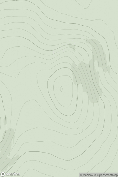
 Lewis and Nearby Islands
 0
0 280.0
280.0User Activity
No recent Activity
0
Ascents
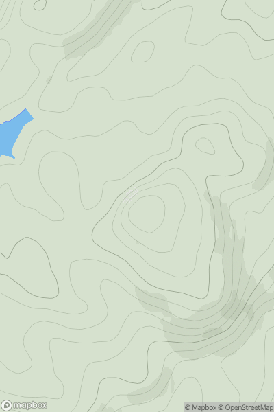
Oban to Loch Fyne
0
195.0User Activity
No recent Activity
0
Ascents
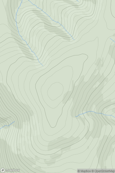
The Glenkens to Annandale
0
725.0User Activity
No recent Activity
0
Ascents
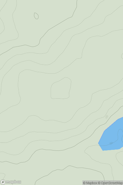
Carrick and Galloway
0
192.0User Activity
No recent Activity

0
Ascents
Inverness to Strathspey
0
369.0User Activity
No recent Activity
0
Ascents
Loch Maree to Loch Broom
0
609.0User Activity
No recent Activity